10/11/1998
Landmark information
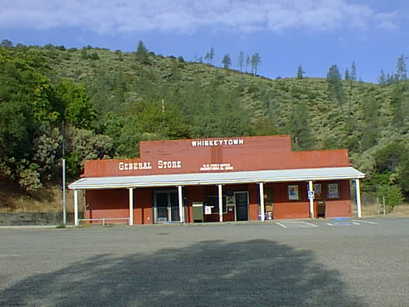
- Location:
Intersection of Whiskey Creek Rd and Hwy 299, 11.3 mi W of Redding on Hwy 299 - Plaque:
No Plaque - Site:
Nothing Remains - Date First Visited:
10/11/1998 - Date Most Recently Visited:
10/11/1998 - GPS Coordinates:
N 40 38.086, W 122 33.653
About this landmark
From the state:
Settled by gold miners in 1849, the town was first called Whiskey Creek for the stream on which it was located, but later the name was changed to Whiskeytown. A barrel of whiskey lost off a pack mule christened the stream with the popular drink of that day. The town is inundated by Whiskeytown Reservoir.