3/9/2001
3/9/2001
7/20/2024
7/20/2024
3/9/2001
Landmark information
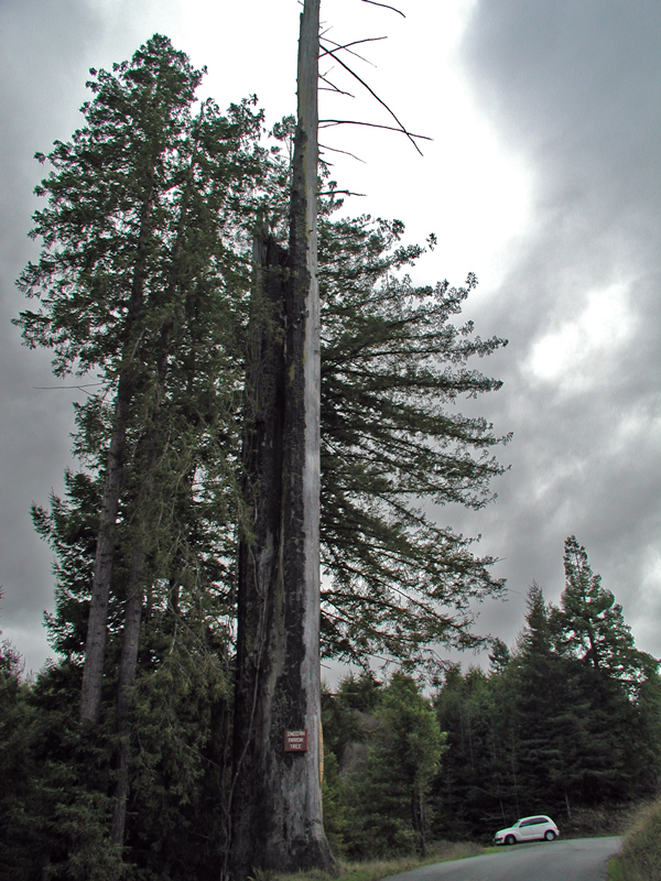
- Location:
County Rd F5L 100 (PM 2.2), 0.8 mi E of Korbel - Plaque:
Other Plaque - Site:
Existing - Date First Visited:
3/9/2001 - Date Most Recently Visited:
7/20/2024 - GPS Coordinates:
N 40 52.063, W 123 57.012
About this landmark
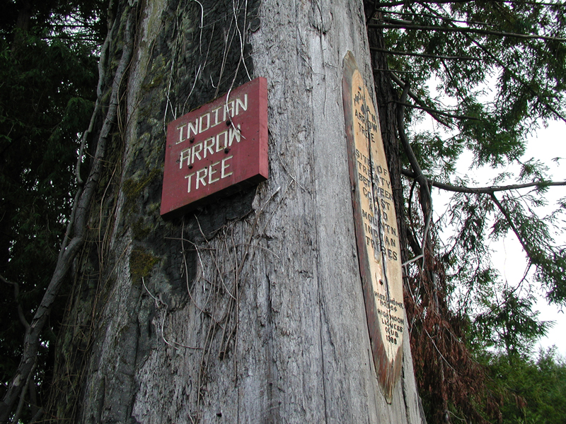
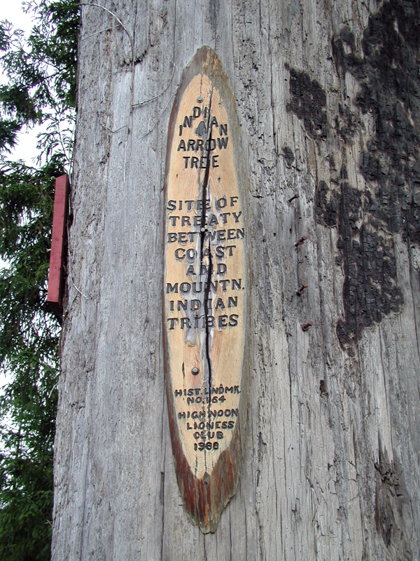
Plaque text:
Indian Arrow Tree
Site of treaty between coast and mountn. indian tribes.