4/13/2004
Landmark information
- Location:
Jesus Maria Rd (County Rd 27), PM 10.2, 4.9 mi SE of Mokelumne Hill - Plaque:
No Plaque - Site:
Existing - Date First Visited:
4/13/2004 - Date Most Recently Visited:
14/13/2004 - GPS Coordinates:
N 38 17.112, W 122 38.696
About this landmark
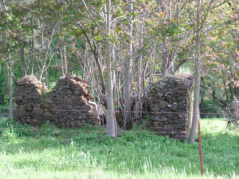
From the state:
The town, center of a large placer mining section, was named for a Mexican who raised vegetables and melons for the miners. It was settled in the early 1850s with a large population of Mexicans, French, Chileans, and Italians.