4/1/2005
4/1/2005
4/1/2005
4/1/2005
4/1/2005
4/1/2005
4/1/2005
4/1/2005
Landmark information
- Location:
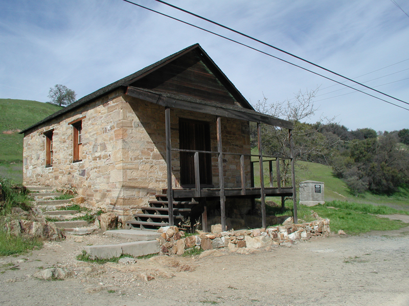
Sonora Rd, 1.4 mi W of Hwy 120 (PM 16.4), Knight's Ferry - Plaque:
Official State Plaque - Site:
Existing - Date First Visited:
3/18/2001 - Date Most Recently Visited:
4/1/2005 - GPS Coordinates:
N 37 49.061, W 120 39.180 - Other Designations:
National Historic Landmark
National Register of Historic Places
About this landmark
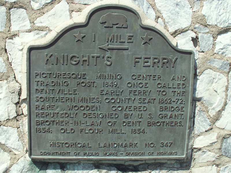
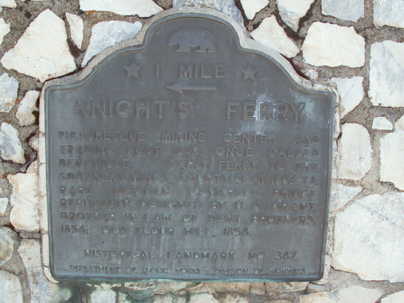
Plaque text:
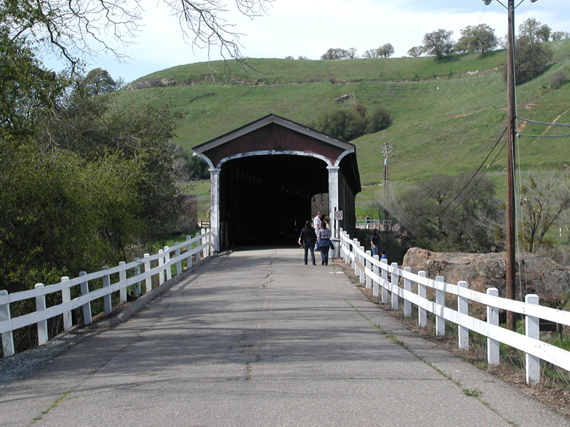
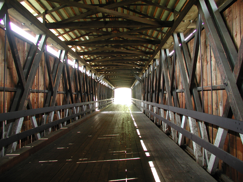
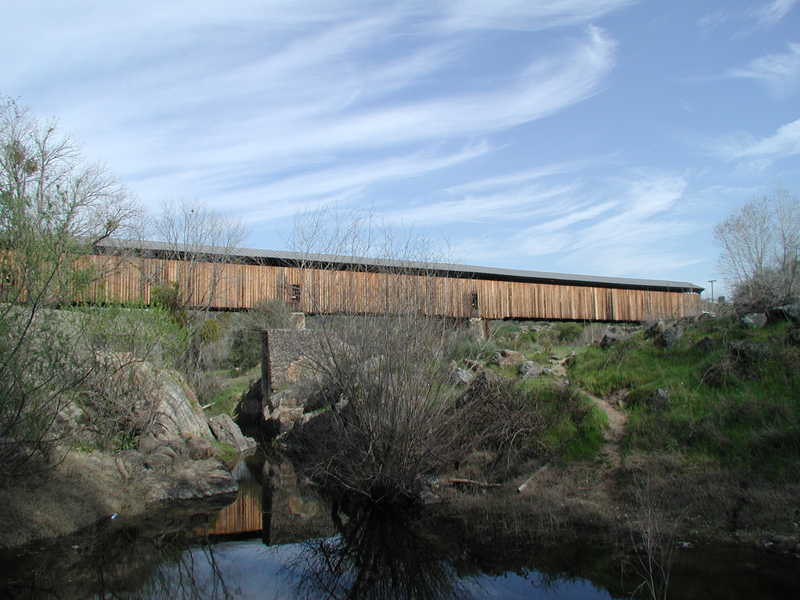
Knight's Ferry
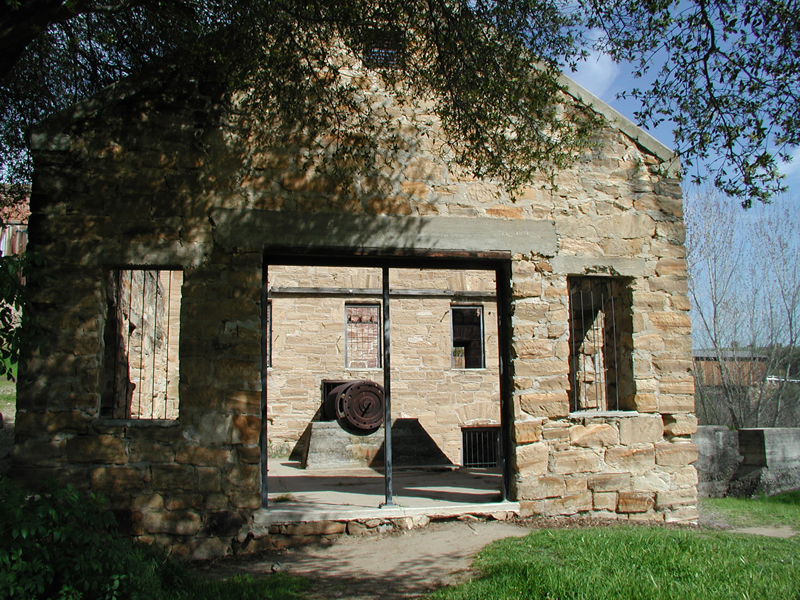
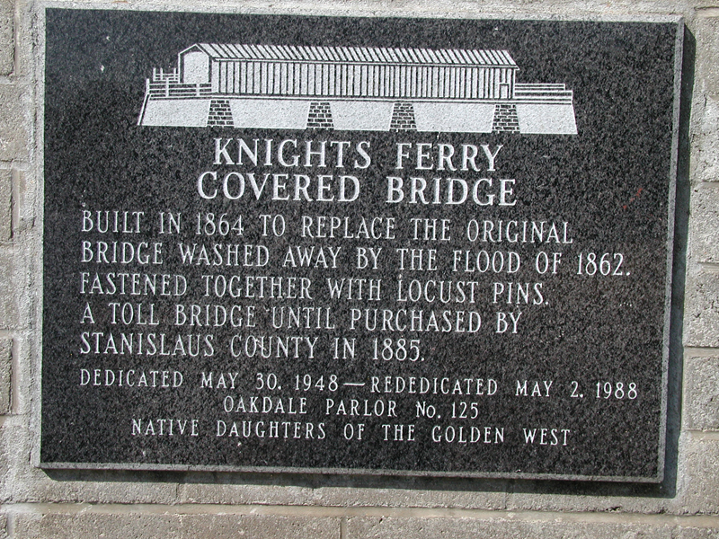
Picturesque mining center and trading post, 1849, once called Dentville. Early ferry to the southern mines; county seat 1862-72; rare wooden covered bridge reputedly designed by U. S. Grant, brother-in-law of Dent brothers. Old flour mill, 1854.