1/12/1997
1/12/1997
Landmark information
- Location:
On State Hwy 126 (PM 16.7) at Hall Rd, 4 mi E of Santa Paula - Plaque:
Official State Plaque - Site:
Existing - Date First Visited:
1/12/1997 - Date Most Recently Visited:
1/12/1997 - GPS Coordinates:
N 34 22.735, W 118 59.392
About this landmark
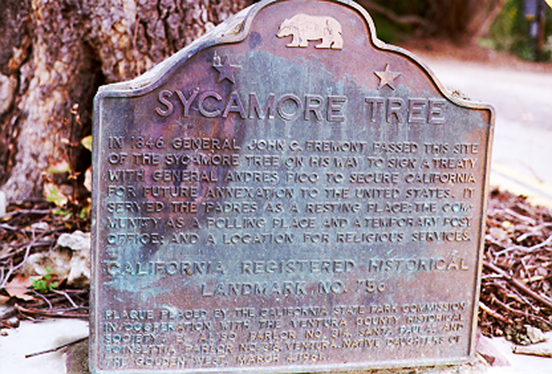
Plaque text:
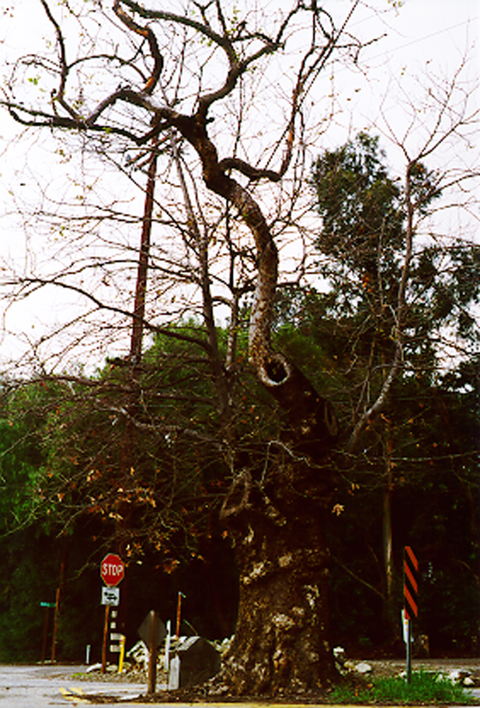
Sycamore Tree
In 1846 General John C. Fremont passed this site of the sycamore tree on his way to sign a treaty with General Andres Pico to secure California for future annexation to the United States. It served the Padres as a resting place; the community as a polling place and a temporary post office; and a location for religious services.