
America’s fastest, most affordable internet service.

Speeds up to
10 Gigabits
New fiber customers get first month free
There’s no comparison.
Sonic Fiber Internet is up to 2× faster than the competition.
And when it comes to customer service and data privacy, Sonic is leaps and bounds above the rest.
Speed
(up to)
Xfinity
1.2 Gigabits
AT&T
5 Gigabits
Sonic
10 Gigabits
Monthly Price
(plus installation)
Xfinity
$119
($100 installation)
AT&T
$255
($99 installation)
Sonic
$49.99
(free installation)
Privacy Protection Score
(by the Electronic Frontier Foundation)
Xfinity
1
AT&T
1
Sonic
5
(Perfect)
Unlimited, Uncapped Data
Xfinity
No
AT&T
Yes
Sonic
Yes
Contract
Xfinity
Yes
AT&T
No
Sonic
No

Sonic makes TV easy.
No contracts, no hefty cable bill. Just your favorite channels.


Fiber home internet with no contracts.
Sonic’s internet is unlimited and uncapped. No matter how we deliver internet to your address, we’ll run the connection at its maximum possible speed.
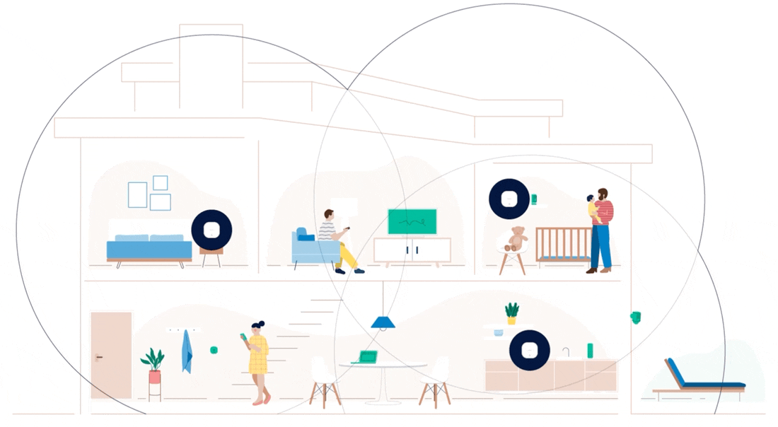
Whole-home WiFi solution.
Sonic Fiber Internet delivers a buffer-free connection and lightning-fast speeds. And when it comes to making sure that every area in your home receives the same level of amazing coverage, a mesh system is WiFi’s best friend.