5/21/1998
5/21/1998
Landmark information
- Location:
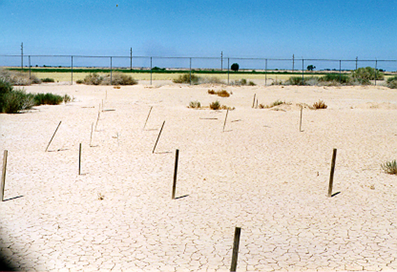
W bank of New River, S of Worthington Rd, 6.5 mi due W of city of Imperial - Plaque:
Official State Plaque - Site:
Existing - Date First Visited:
5/21/1998 - Date Most Recently Visited:
5/21/1998 - GPS Coordinates:
N 32 50.679, W 115 41.539
About this landmark
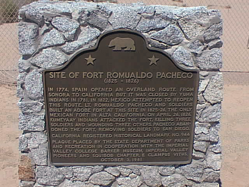
Plaque text:
Site of Fort Romualdo Pacheco
(1825 - 1826)
In 1774, Spain opened an overland route from Sonora to California but it was closed by Yuma Indians in 1781. In 1822, Mexico attempted to reopen this route. Lt. Romualdo Pacheco and soldiers built an adobe fort at this site in 1825-1826, the only Mexican fort in Alta California. On April 26, 1826, Kumeyaay Indians attacked the fort, killing three soldiers and wounding three others. Pacheco abandoned the fort, removing soldiers to San Diego.