The Davis Verdict
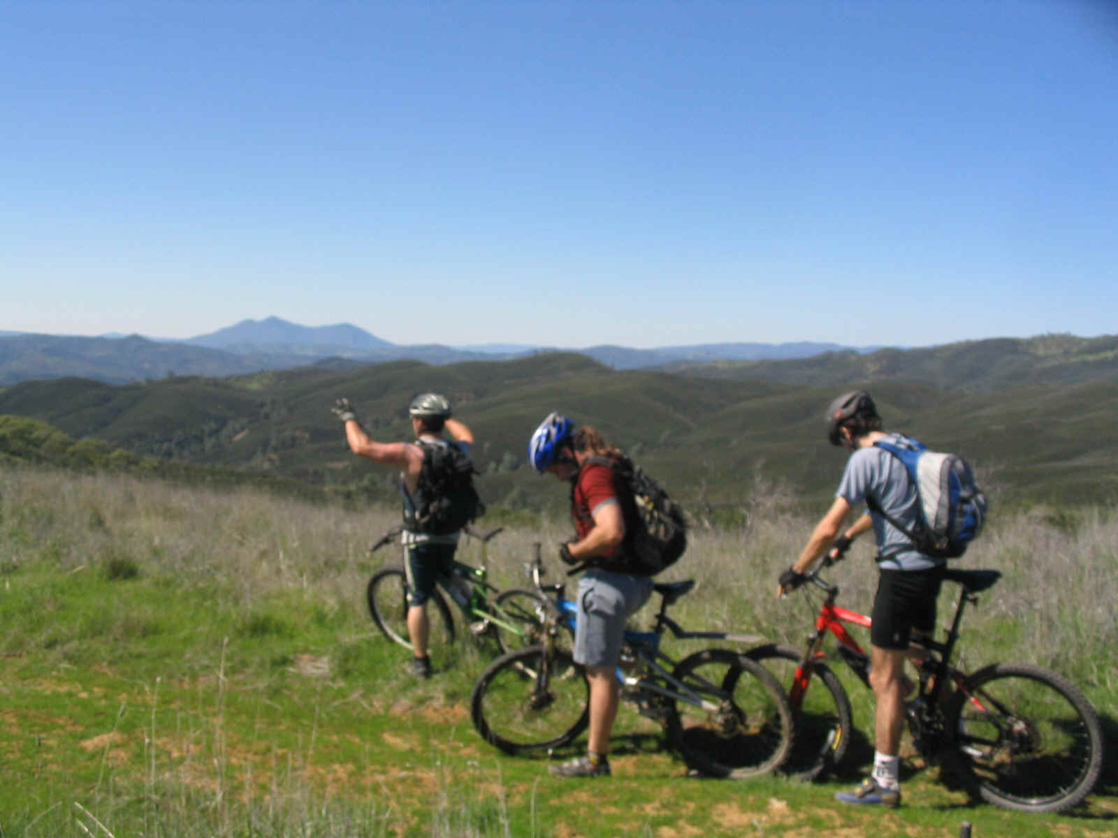
The Bikin' Fools immersed in a gorgeous spring day on the Judge Davis Trail
Saturday, March12 was an ideal day to be outside. The temperature was in the mid sixties, the sky was brilliant blue and the earth was alive with all the verdant energy of the season. Eric, Shawn, Jim K. and Michel motored to the remote area, performed a minor car shuffle then headed up the first mile, all climbing. The workout got the bodies well warmed for the scintillating six miles of ripping downhill that take travelers to Cache Creek, often a raging river.
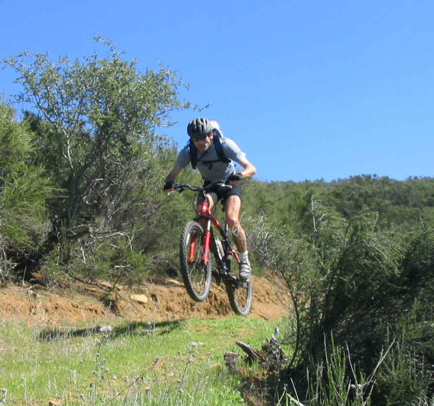
Rocketman Gasquy goes huge
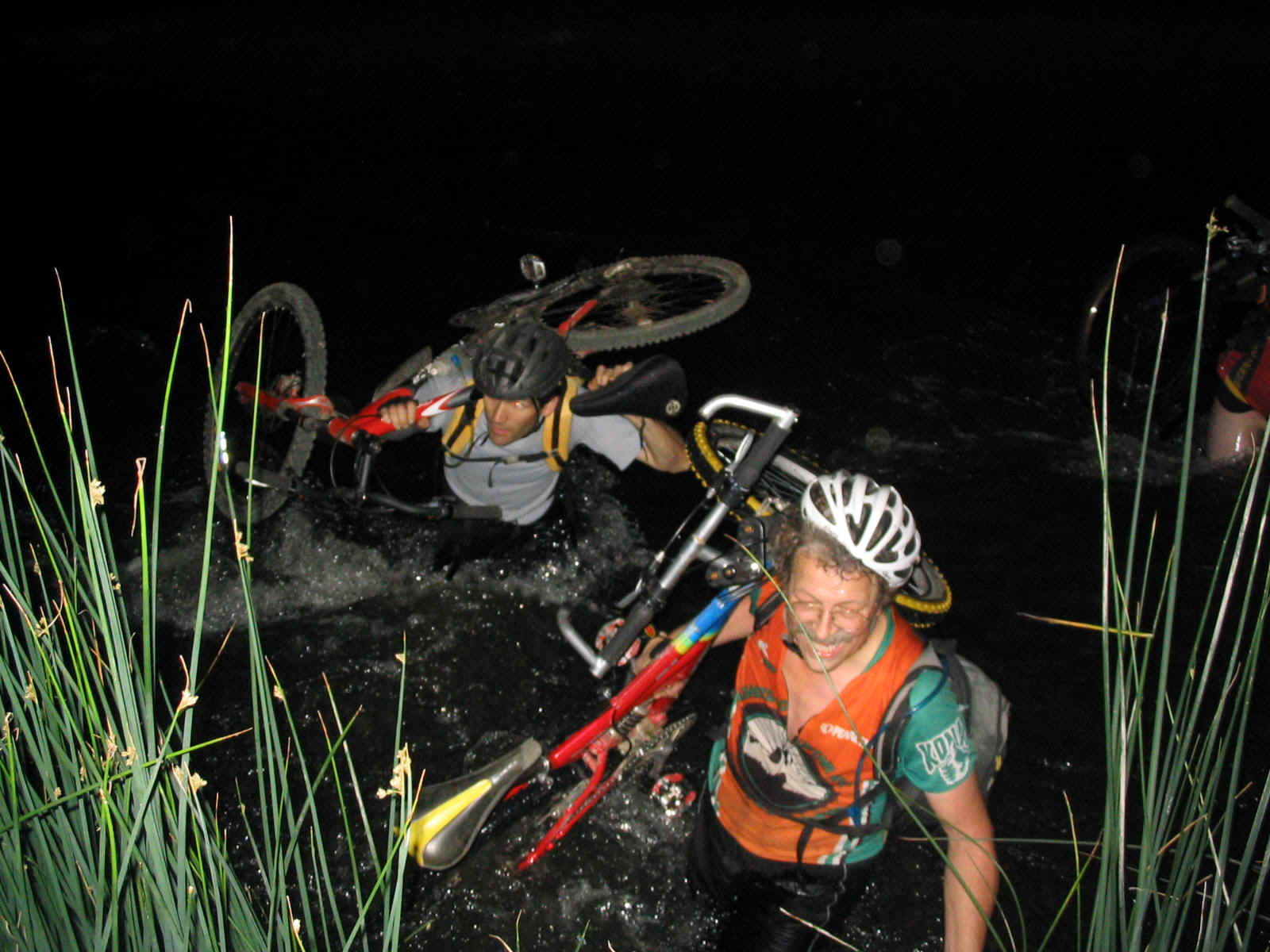
The river was cooperative by being very low volume. The crossing didn't ever require disrobing. The water shoes were all that was required to easily cross the foot deep water. It was chilly. Shawn and Jim had the courage to take a plunge in the deeper pools.
Michel strolls with ease across the water
... a far cry from his last crossing
The eyes tell the whole story
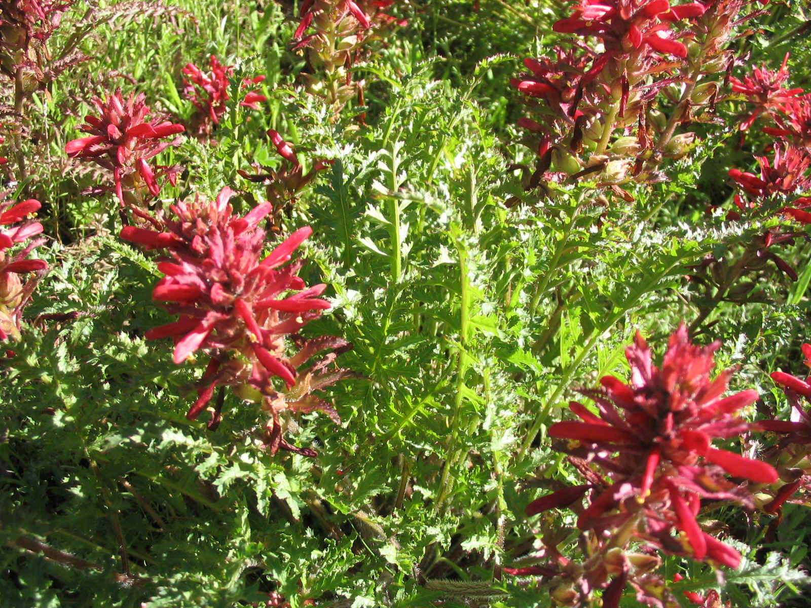
Once across the Creek, the four sat under the old Oak tree for a pleasant lunch break. Wilson Valley was carpeted with a lush, green coat of grass. There were wild flowers, not yet abundant. Leaves on the tree had just began to emerge.
Wondering if the camera will stick to the tree long enough to take the picture
The Wilson Valley is over a mile long. The trail glides over soft grass packed down by deer and bunnies. This part of the ride had the most intense wild flowers. Wide areas glowed bright yellow.
Nice
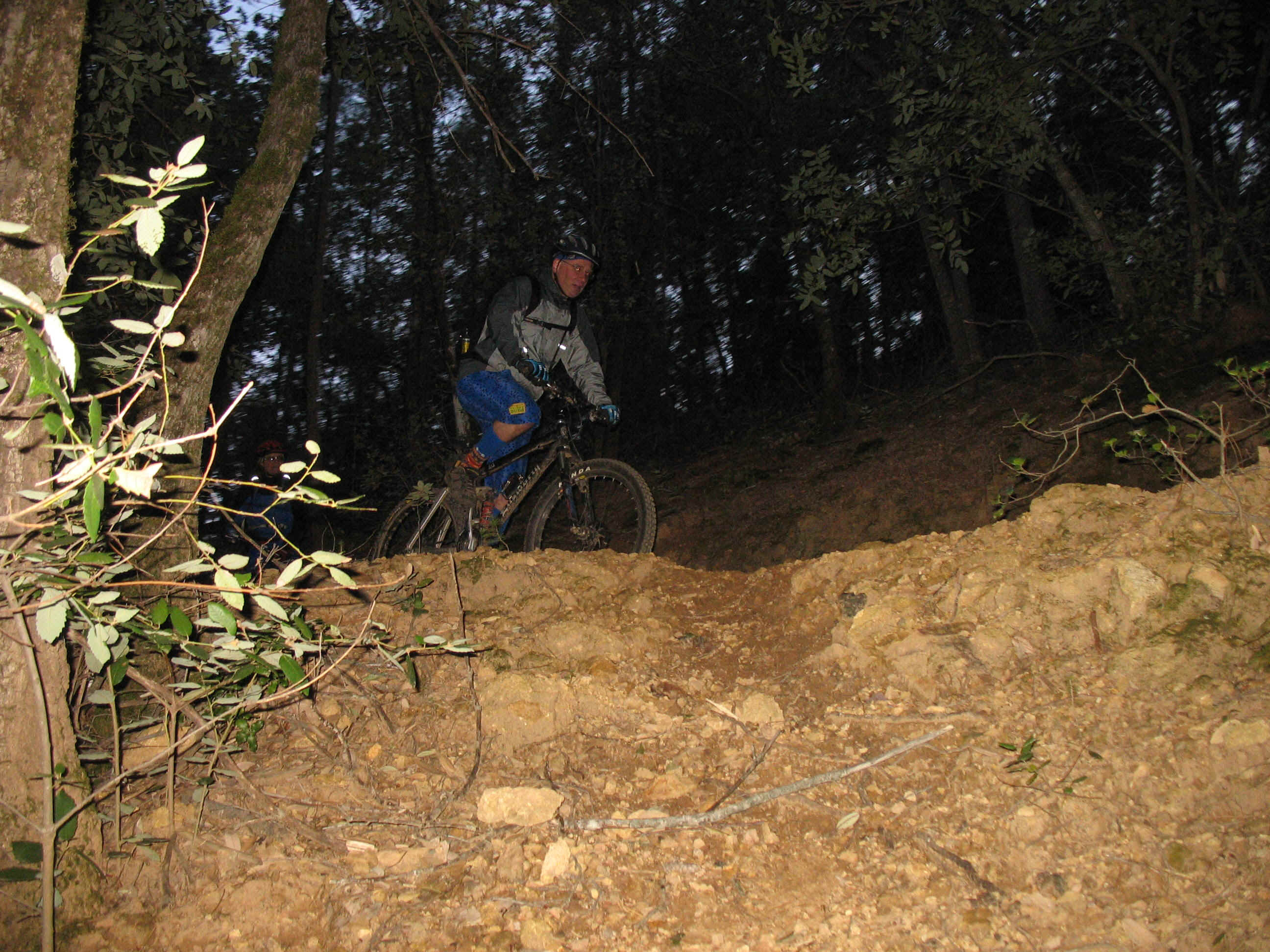
Once out of Wilson Valley, there is a minor water crossing then a significant climb to the plateau that overlooks the terrain to the east. The trail becomes very steep near the top of the climb. Then an easy, slightly downhill dash across the plateau. The single track winds around the hill side before dumping out into several open areas. A significant downhill follows. The trail drops back down to river level and proceeds along the river before climbing to get around the 'big slide'. This is a feature that we have watched grow over the last two years.
A Massive chunk of earth moves towards the river
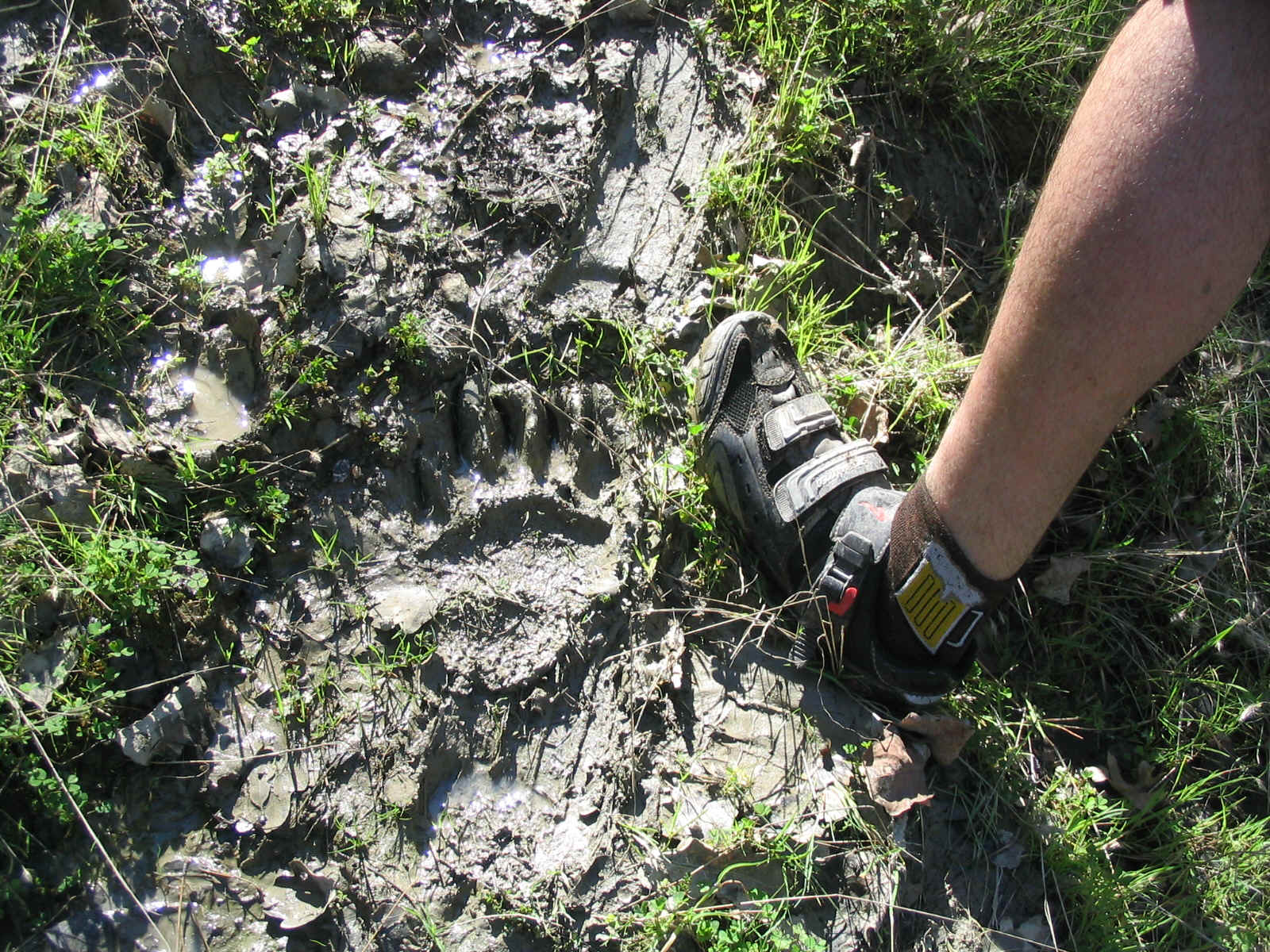
Bear paw print in the mud
Once past the bear tracks and the mud slide the trail returns again to the river level. Just before the last crossing is another lovely meadow of the yellow wild flowers.
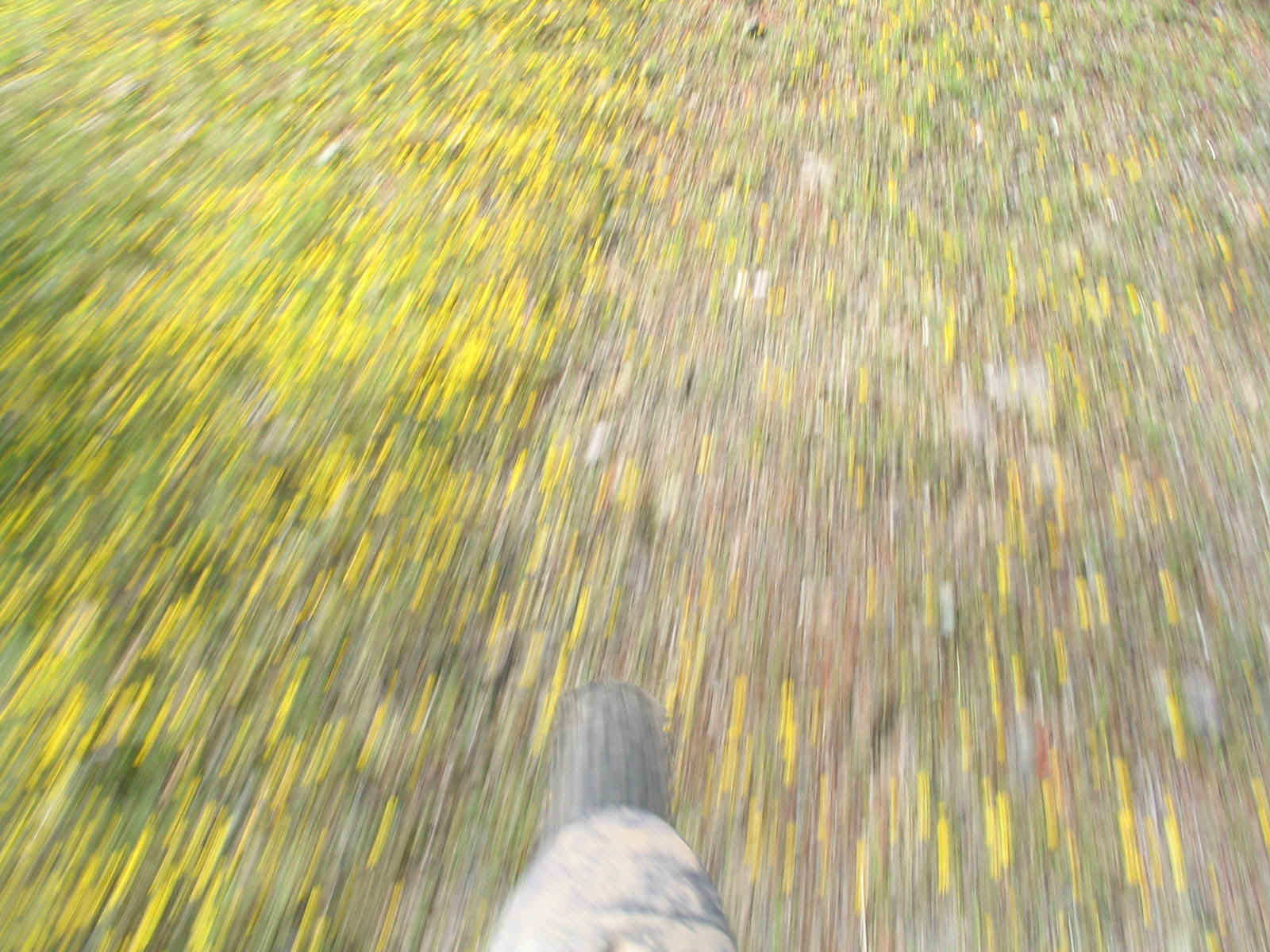
A blur of beauty
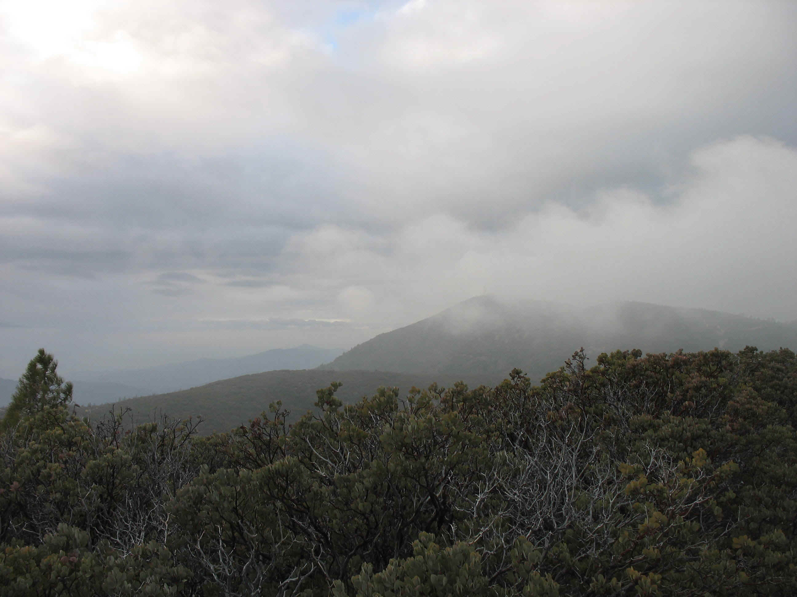
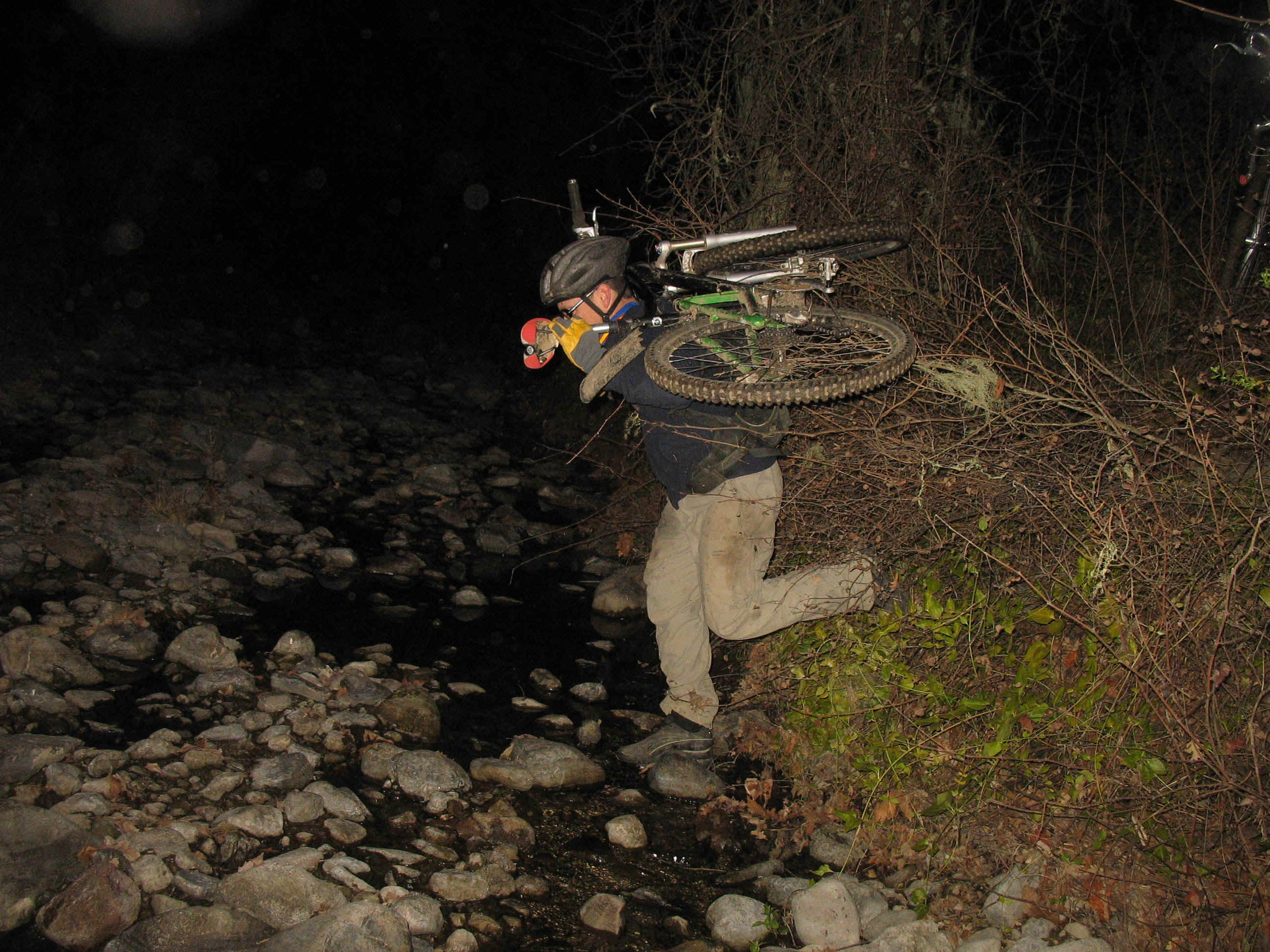
The last river crossing was also easy. The same place that gave us so much trouble on the moonride last year, was an anti climatic easy passage. The last climb is hard but mercifully not-all-that long. At the top it was time to pause for the last time and take in the magnificent splendor that is offered for those willing to get themselves to this point over looking Cache Creek and the surrounding wilderness.
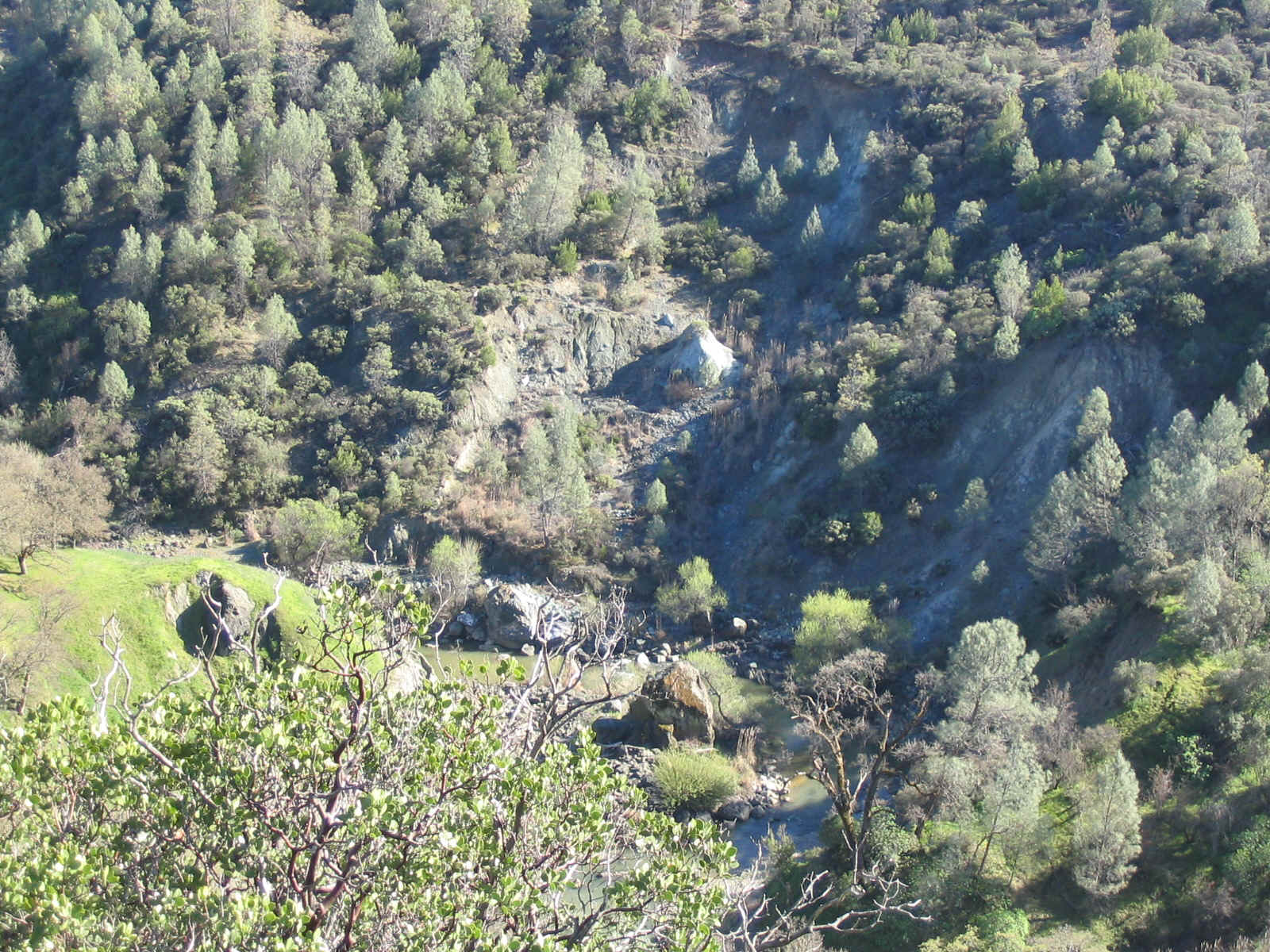
Far below, Cache Creek meanders through a very remote section of Northern California
The romp downhill to the parking lot is as pleasant as it gets. The trail is baby-ass smooth. The turns have nice curbs and every 100 feet has a chance to get light. It lasts only seconds, really. Then it is over. Another high rating on the funnometer of mt. bikin'. An eight mile car shuffle and forty minutes of driving placed the happy bikers at the Mt. St. Helena Brewpub for food and IPA refreshment.
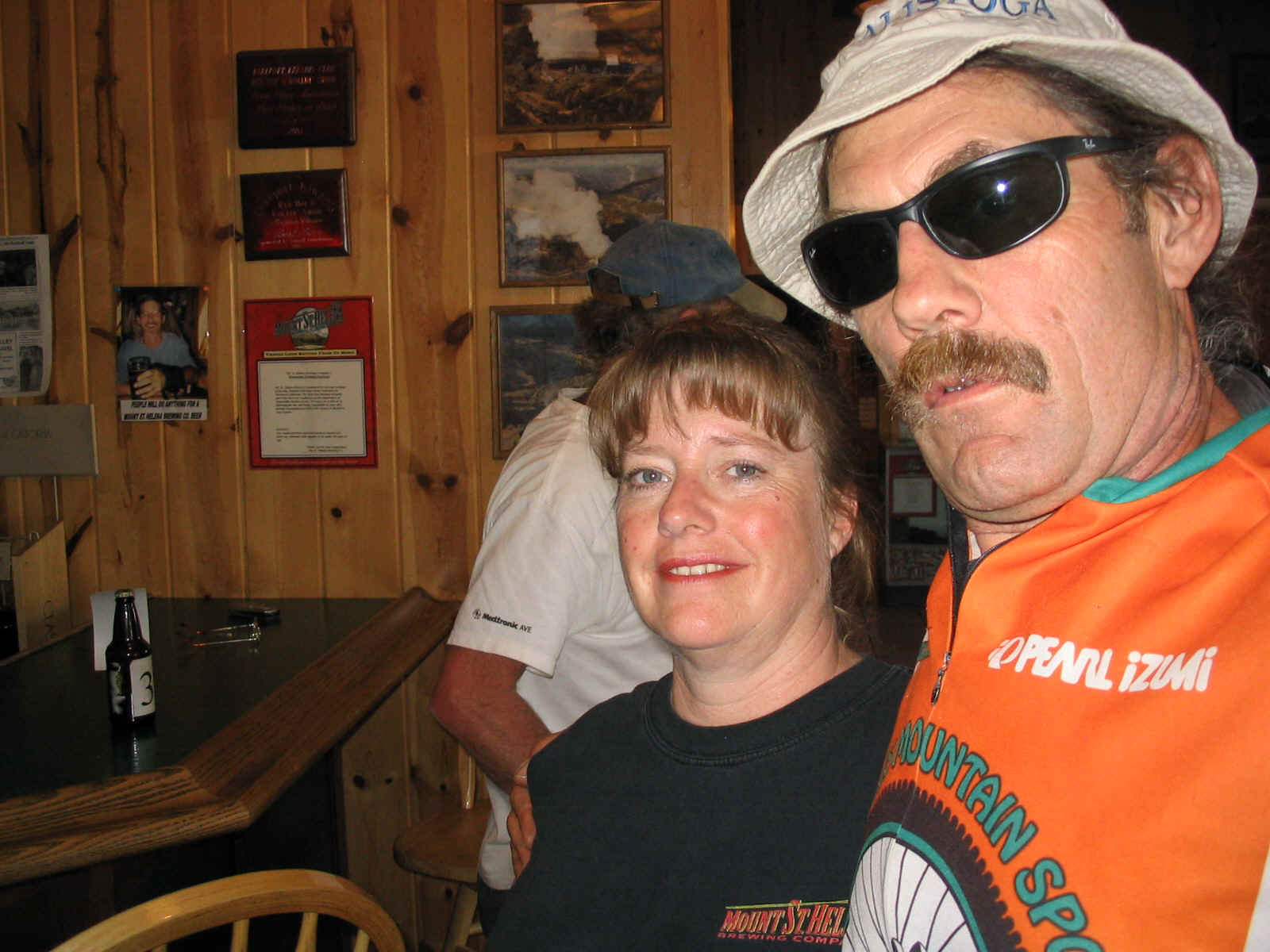
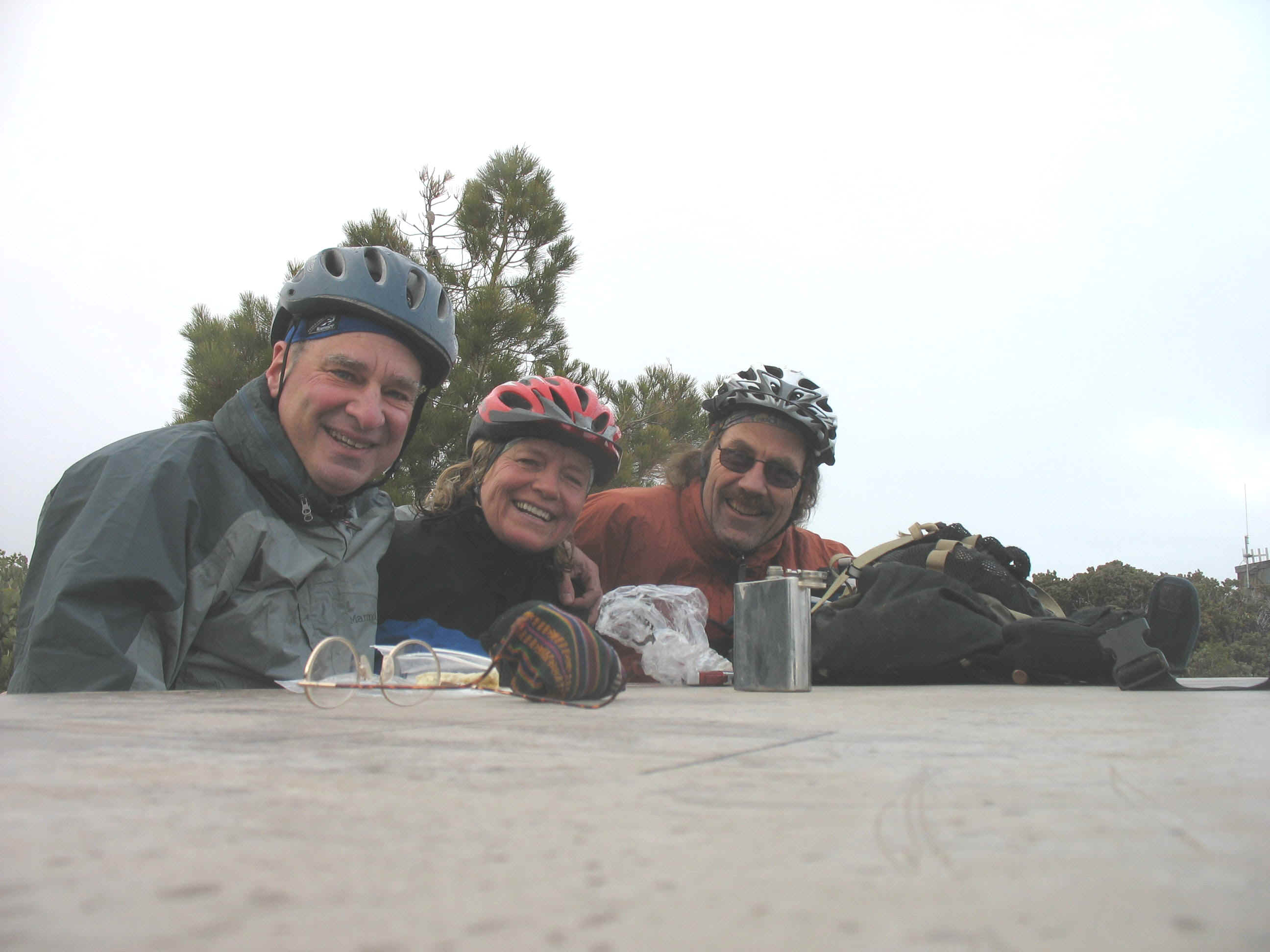
Debbie fuels the Bikin' Fools after a great ride
The ride had the sense of the growing springtime energy. The time of year when the doldrums of the winter spirit are shed and the new year bursts forth with unflagging vigor and energy. The Bikin' Crew savor these special times and look forward to being in Church again.
amen!